The need
Make information about investment in Marseille’s schools available to explore. The task is to connect information to a specific place: a school, its location in the city and the work carried out there.
The response
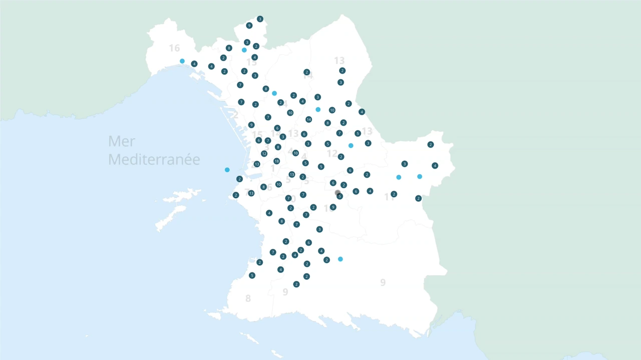
The interactive map is displayed on two large screens, one of which is touch-enabled. It presents the city’s schools geographically and provides information about each establishment.
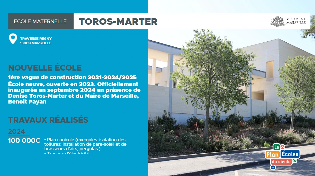
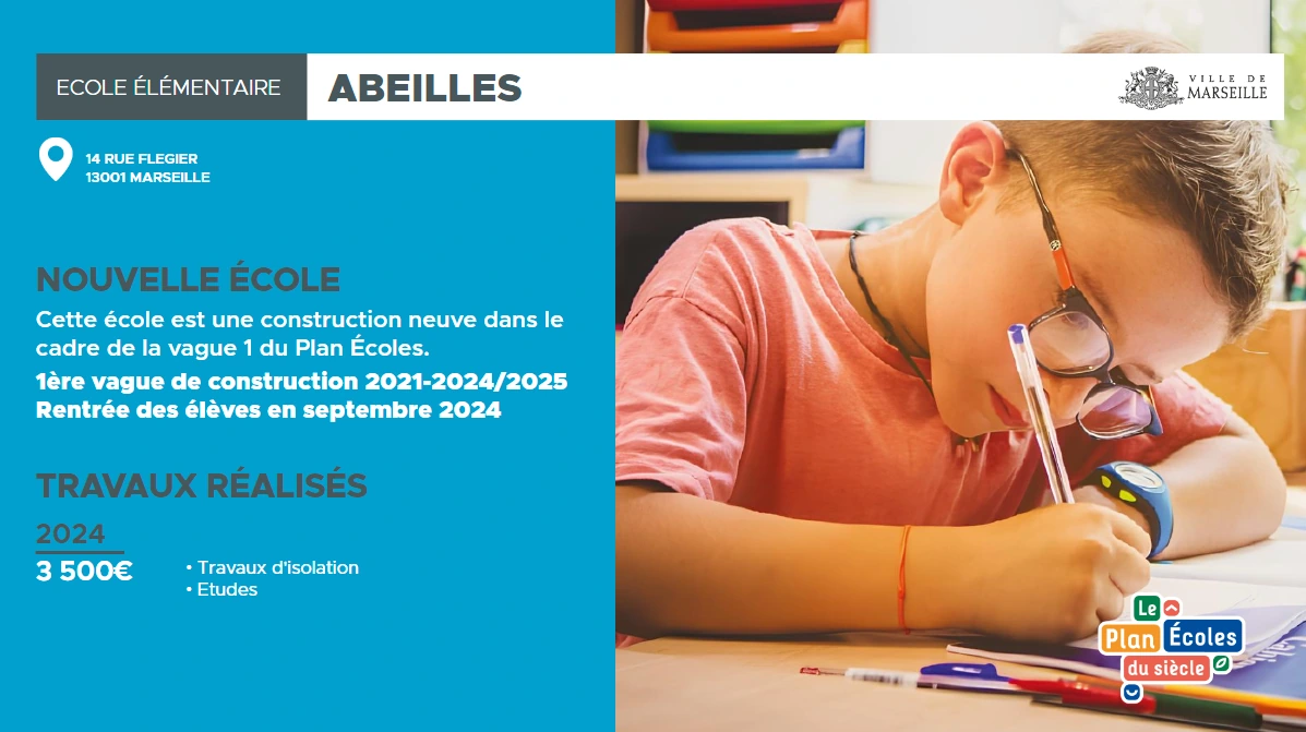
Screenshots of the application show two levels of information: an overview with schools placed on the map, followed by individual school information panels combining text and images. These panels include completed work and the corresponding investment details.
In use
Users explore the information through the schools shown on the map. The touchscreen provides a way to browse this content on a large-screen installation, rather than searching for a separate page for each school.